Heading in to this day, there was some potential for severe t'storms and a possible local chase. The main questions were how much destabilization would occur, and where the warm front would set up.
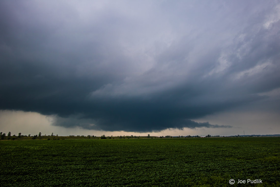
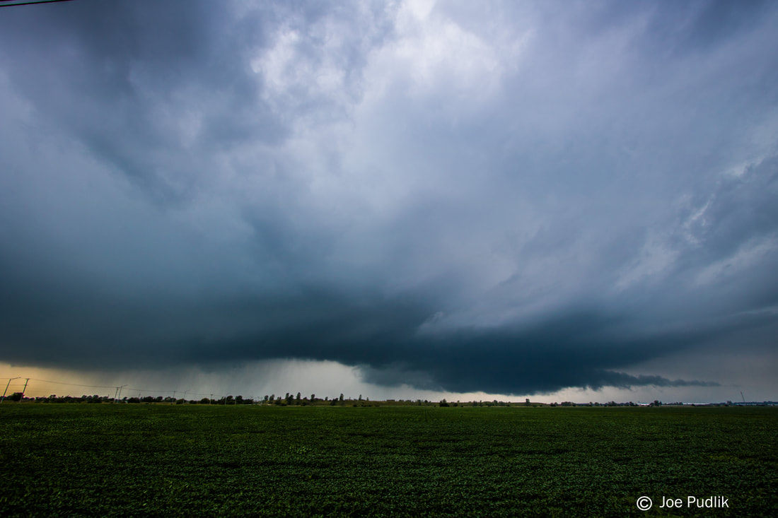
A supercell ended up developing out of elevated convection moving into North-Central Illinois during the early afternoon. I ended heading out and intercepting the storm near Ashton IL, a bit after it had gone tornado warned. Upon arriving, the storm was interacting with the warm front, and made a serious attempt at wrapping up and producing. Unfortunately, due to the warm front being in a northwest/southeast orientation, there was a small window of opportunity to produce..in which it did not succeed. I followed along east with the storm for a bit longer just in case it tried to do something interesting, before dropping off of it and ending the short chase. On the way home, another storm developed and went severe/tor warned south of the original storm. It was well north of the warm front, even so tried its best to do something...but ultimately failed as well.
If the warm front would have been oriented more west/east instead of northwest/southeast, along with not retreating SW, activity likely would have been able to latch on to the boundary, and would have had a better chance at producing and would have had longevity.
Some pictures from this chase can be viewed below.
| Chase Statistics: Tornadoes: 0 Wind: None Hail: None | SPC Severe Weather Reports: 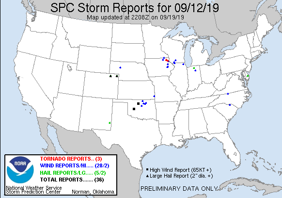 |
 RSS Feed