Me and my chase partner made it to an initial target in E. Iowa just in time to get on a tornadic supercell just west of Tipton, IA just after it had produced a weak/brief tornado. This cell had decent structure for a time that we was on it, but quickly became outflow dominant with the evolution of a decent shelf cloud. The cell along with other formed into a line, which pushed into NW. Illinois.
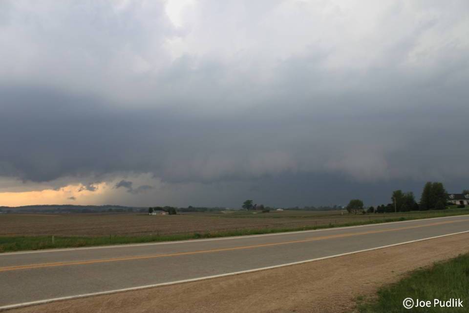
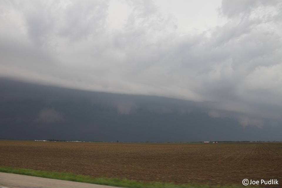
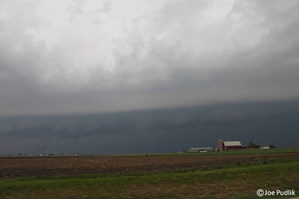
We decided to hang around in the area and see if any of the following cells would do anything, but they were undercut by the outflow from the initial supercell. At this point we decided to race east to make a play on the original cell/line, which had now taken the form of a bow echo and was pushing east across NW. Illinois. We were not able to get far enough north to experience the widespread damaging winds over 70mph, but instead ended up with a nice shelf cloud and 40-50mph winds at my position just east of I-39, near Hampshire, IL.
This was an alright chase, but it could have gone better.
Some pictures from this chase can be viewed below. Additional pictures can be found in the 2011 photography section.
| Chase Statistics: Tornadoes: 0 Wind: 40-50MPH Hail: None | SPC Severe Weather Reports: 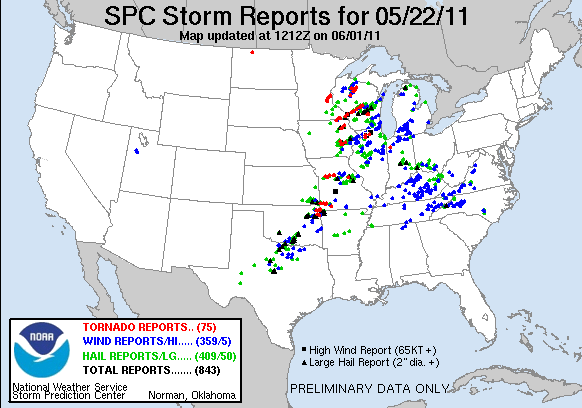 |
 RSS Feed