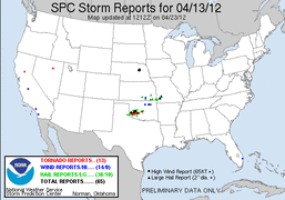
My chase partner and myself left home just before 11PM Thursday night, headed out to the Plains for what would be a two day chase. Friday's(13th) target was C. Oklahoma.
We made it down to El Reno, OK by early afternoon, just in time to see storm initiation beginning to our southwest in southwest Oklahoma. We decided to head south towards Chickasha, OK to catch a cell headed in the general direction of town. This initial cell was interesting for a time and had a reported lowering when it was still to our southwest, but it started to weaken as it passed. A second storm quickly developed to our southwest and moved overhead, producing a brief period of dime to penny size hail. At the same time yet another cell developed to our west. All of this eventually merged into a single supercell storm.
We followed this now decent looking storm ENE across open country for a while, as it moved in the general direction of Norman, OK. We ended up seeing a ragged wall cloud a few miles west of Norman. Even though the storm had potential we decided to drop off of it given it was headed into a more populated area. This storm did go on to produce a tornado in Norman.
After dropping off the Norman supercell we headed back west to take a look at a pair of somewhat merged supercell-ish storms to our WSW. This cluster had decent structure and had potential for a time, but it really didn't look like it was going to do anything. We then dropped south to Elgin, OK to put ourselves in position to catch new development occurring in SW. Oklahoma.
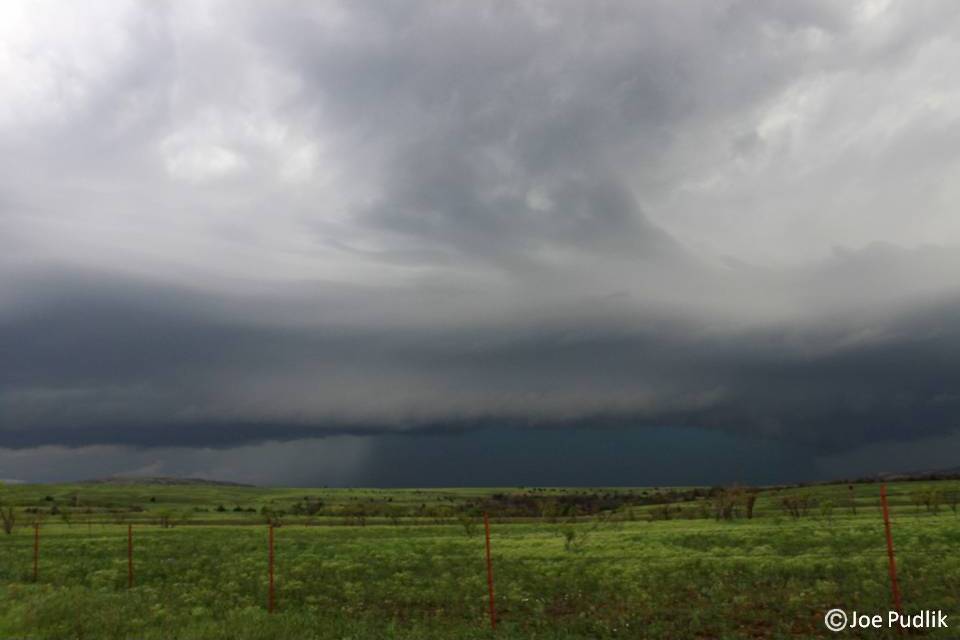
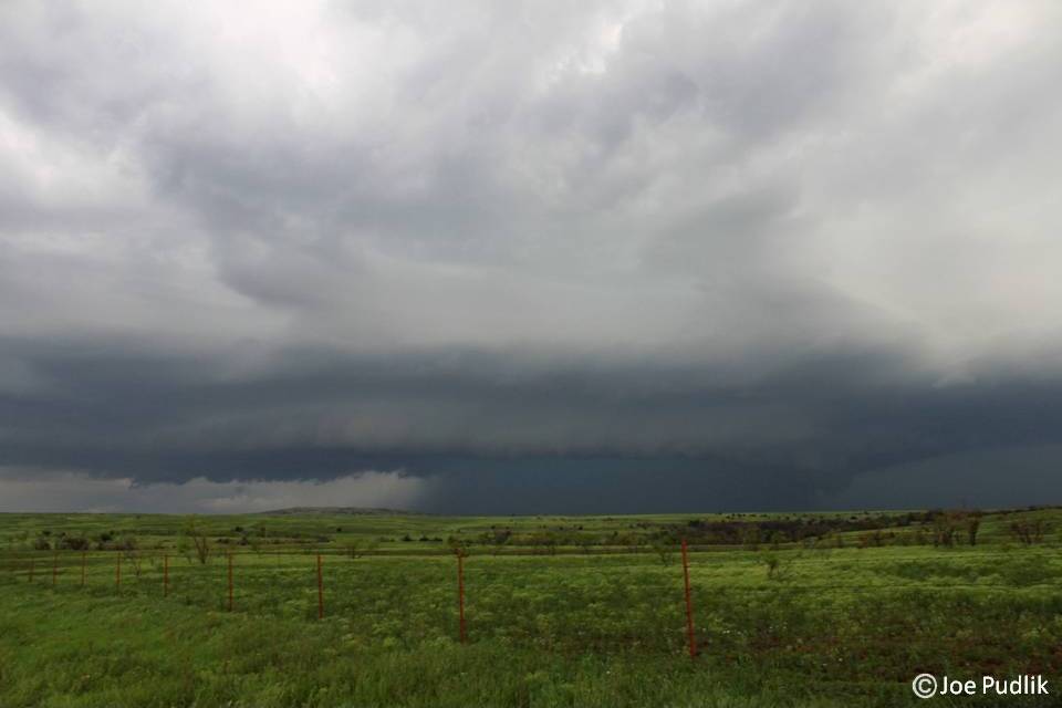
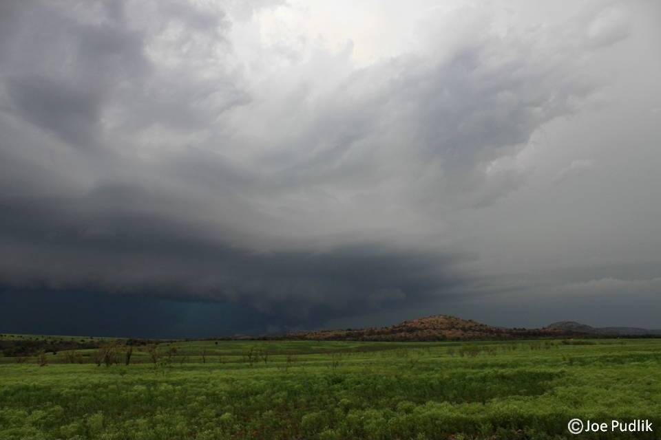
After watching the new development mature and making sure it would be sustained, we headed west towards the Wichita Mountains to make a play on a tornado warned supercell headed towards the area. We made it to the supercell as it was entering the northern Wichita Mountains. The combination of scenic terrain and great storm structure off to our north made for some awesome pictures and video, as we sat on Route 49 in the mountains. It was at this point that there was a tornado on the ground off to our north near Saddle Mountain, OK. We then continued to follow this storm as it exited the mountains and headed into the lowlands to the ENE. By this time it was dark and the decent lightning show helped show the still nice looking storm structure, as we headed north on Route 58, NE of Meers, OK. Continuing north on Route 58 near Alden, OK we witnessed a brief tornado touchdown to our north, south of Carnegie, OK. We continued to follow the storm for a bit as it pushed ENE closer to I-44, before calling the chase and heading to Oklahoma City to stay for the night.
I had a few "firsts" on this chase, as it was my first chase and tornado in Oklahoma. I still stand by my decision to drop off the Norman supercell even though we missed a tornado, as I didn't want to deal with a populated area. The tornadic supercell that moved through the Wichita Mountains really helped make this a very enjoyable chase.
Some pictures and video from this chase can be viewed below. Additional pictures can be found in the 2012 photography section.


 RSS Feed