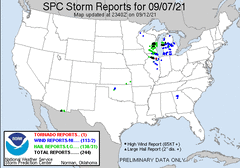
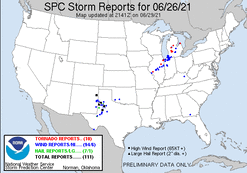
This day had shown the potential for severe t'storm risk from several days out, with the potential increasing as the day approached. Heading into the day, it appeared there would be two rounds of severe t'storm potential... The first during the afternoon and evening, as a remnant MCV moved across the state... And the second with the main cold front moving across the state during the evening and night. A chase looked quite likely the night before the event, and the plan was to head out immediately after getting off work in the early afternoon, with the potential to have a play to chase both rounds of potential.
The morning of the event things looked on tracked with the aforementioned scenario. However, things quickly changed and the overall potential came into question through the day. As the remnant MCV moved across the state during the afternoon, no development occurred, and it was found that capping in place was more significant than modeled and that prevented development... That is until the MCV moved east, where things ramped up across Michigan and Indiana. I ended up not leaving to chase after I got off work in the early afternoon, given the first round was not going to pan out, and the second round was to start in Iowa, with new question on how it would evolve across Northern Illinois during the evening and night.
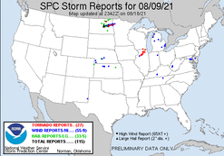
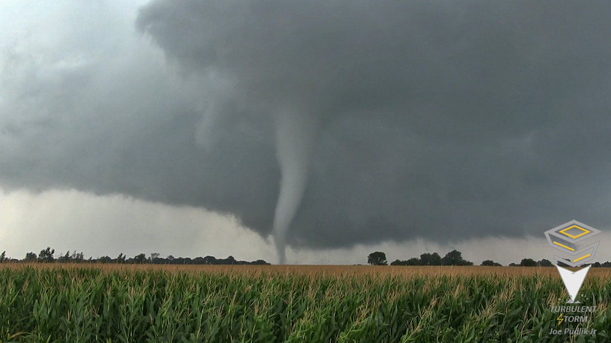
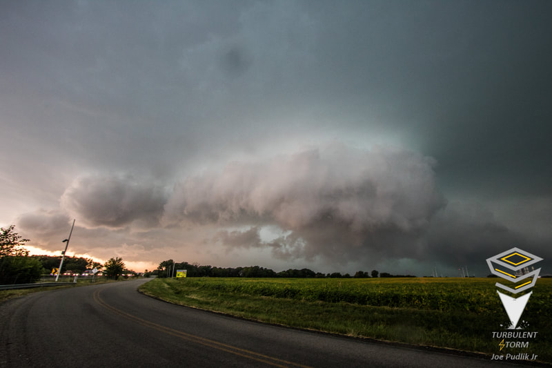
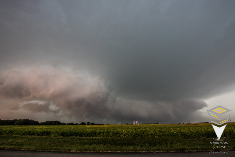
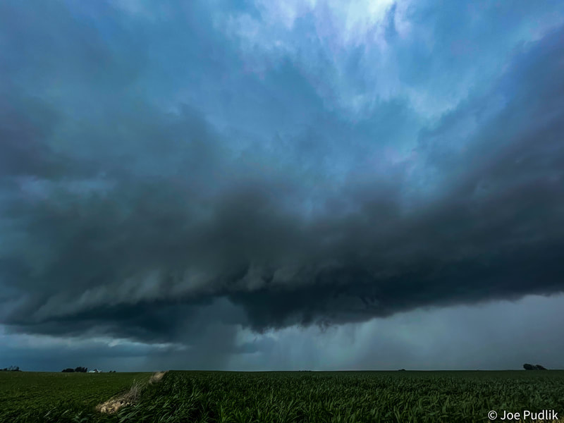
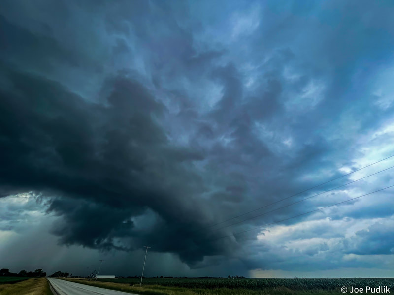
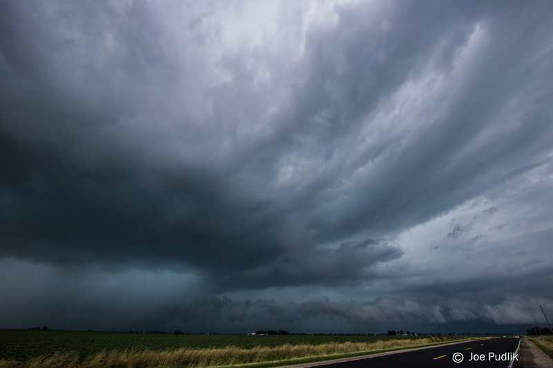
Focus then turned toward the second round of potential, that would be possible during the evening and night. Widespread activity was occurring along the cold front in Iowa during the afternoon, however given the first round didn't pan out, there was question if the second round would for the evening and night. As the Iowa activity moved across Northern Illinois, there was a period of weakening across Northwest Illinois during the evening, before things ramped up across North-Central and Northeast Illinois, including the Chicago area. A few couplets/areas of rotation were showing up within the now severe/tornado warned line as it approached the western suburbs of the Chicago area, on track to come towards me at home in Naperville IL. As things approached, portion of the line that was going to pass just south of home looked interesting, and after some thinking, my girlfriend and I left at the last minute to head south and intercept it on I-355. While on the short 8 minute drive south, the couplet/rotation with the portion of the line in question increased, and a tornado was reported in Naperville IL. Driving south, we also observed power flashes to our west-southwest. We made it to just south of the 75th St exit on I-355 in Woodridge IL, as the line of severe/tornado warned t'storms hit, and we pulled off to the side. Conditions ramped up quickly, with us taking just about a direct hit from a then EF-2 tornado. Power went out in the area, with tree debris hitting our vehicle as the tornado passed.
After the tornado passed, we spend several hours through much of the night documenting the event and damage across portions of Woodridge and Naperville, where significant and widespread damage occurred. The tornado was rated and EF-3 by the NWS, with damage surveys suggesting EF-0 to EF-2 damage having occurred where the tornado hit us.
Some video from this chase can be viewed below. Additional videos can be found in the 2021 video section.
| |
 RSS Feed