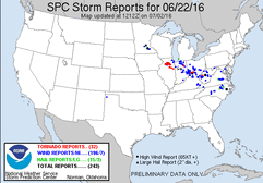
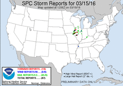
Potential for this day showed up a few days out, with some similarity to the previous years event (6/22/15), which was a localized significant event. The potential varied on model guidance, with a few potential issues showing up as well. These issues included early day storms and debris, warm front position, and capping. All of which were sorted out in the end to create a localized significant event.
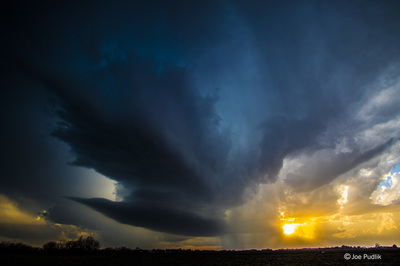
As usual, there was hesitation and procrastination to leave on a local day. Storms developed in E. Iowa and NW. Illinois during the mid-afternoon hours. We decided to leave and head west to intercept the storms as they pushed east-southeast and continued to strengthen. We made it to the vicinity of what was now a string of supercells, with tornadoes already reported.
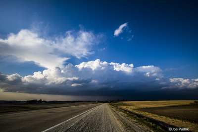
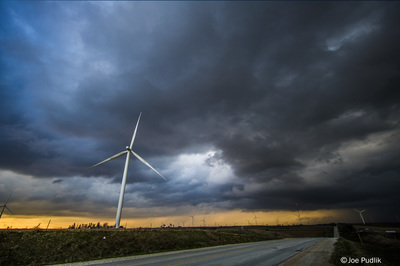
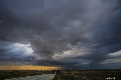
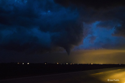
Approaching from the northeast, our best option was to make a play on the furthest north supercell, which was approaching Earlville and Leland. We gained a good visual of the storm on Route 23 south of Leland, where we witnessed the end of the Earlville tornado. As the storm approached we took a quick jump south, then east on Route 52, finally back northeast on Route 71 to Newark. We made a quick stop in Newark, as a new circulation was a few miles to our west-northwest, northwest of Sheridan. This circulation passed just to our south in a weakening phase as we sat in Newark, witnessing a wind shift.
As the storm passed we decided to call it a chase given some flooding was occurring, darkness had set in, and storms were moving in a not so favorable southeast direction.

 RSS Feed