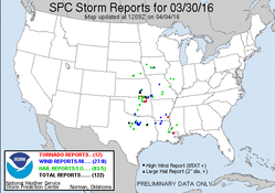
As usual, this day had shown potential several days out. The potential varied on model guidance, with a few potential issues showing up as well. Timing, ongoing storm activity through the day and associated cloud debris, veer-back wind profiles, and surface wind direction were all potential issues ahead of time. Timing ended up working out in the end, but the other two issues were still a problem, along with moisture return further north across N. MO.NE. KS/IA as well.
We left early Wednesday morning, with an initial target in the vicinity of Emporia,KS along the dry line. Making it to Des Moines before noon, the decision was made to play the triple point in E. NE/IA instead. This decision was based on ongoing activity in OK/KS/MO/AR potential creating problems with the initial KS target. We sat in Des Moines for a few hours watching things, before finally heading southwest to Atlantic, IA.
While sitting in Atlantic for a while, there were a few attempts at storm initiation to our west along the dry line and to the northwest along the surging cold front racing southeast. Eventually a storm did develop along the intersection of the cold front and dry line to the west of us. At the same time, a storm developed well to our southeast in S. Iowa. Both storms slowly matured, with the storm to our southeast becoming interesting a bit more rapidly. After pondering which storm to go after for a bit, we decided to head northwest towards the storm on the triple point, even though there was a good chance it would be undercut by the surging cold front. While heading towards this storm, the storm that had developed in S. IA quickly began to weaken, and eventually diminished.
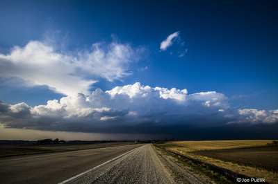
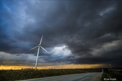
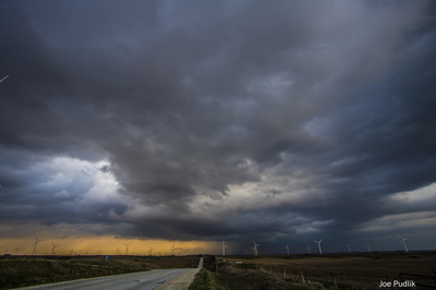
Upon making it to our storm, it was already being undercut by the surging cold front. Unfortunately, this was the only interesting storm in the area, so we continued to follow it. There storm stayed just on the north side of the boundary, which kept it somewhat interesting, as it pushed ENE. We tracked the storm east to Des Moines, before finally dropping off of it and calling it a chase.
Some pictures from this chase can be viewed below. Additional pictures can be found in the 2016 photography section.


 RSS Feed