For several days leading up to this day, it had looked like weather conditions would be hot, humid and dry. However, as we got closer to this day weather model guidance started picking up on the likelihood that a few MCV's would develop from larger MCS's in the Plains the night prior to this day, which then would move northeastward and through the region on this day. These MCV's would be of focus for severe t'storms, as long as timing was right and the cap could be broken
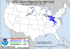
The morning of this day featured hot, humid and dry conditions in the area. Two to three different MCV's were moving rapidly east and northeastward across Minnesota, Iowa and Wisconsin during the first half of the day. By afternoon it was appearing quite possible that the MCV's had moved through the region too early, and that timing would be off and capping would hold, preventing any severe t'storm development. However, by mid-afternoon a supercell t'storm developed across Southern Wisconsin, which then moved east-southeast through Madison, Milwaukee and out over Lake Michigan as it transitioned to a small little cluster. Trailing from this activity was an outflow boundary, which was pushing southward from Southern Wisconsin and into far Northern Illinois, and would soon interact with a warm front in place across far Northern Illinois.
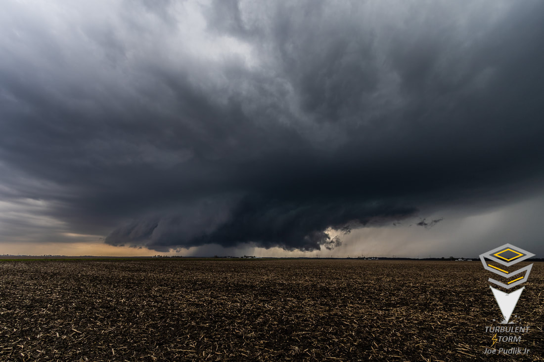
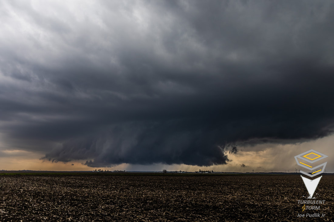
A few t'storms began to develop in the Rockford, IL area by late afternoon, in the vicinity of both boundaries. This activity then blossomed into one large supercell t'storm, which began to push slowly southeastward along the warm front in place, moving towards Elgin, IL. As I saw this occur, I quickly left home and got on the road for what would be a 30 minute drive north to catch this supercell t'storm. I closed in on the supercell t'storm as it was exiting Elgin IL and moving into Streamwood IL. At this time it was a very HP supercell t'storm, with any good structure being in the rain. I continued to follow along now east-southeast, as the supercell t'storm continued to ride the warm front southeastward. I witness some wrapping to the rain curtains while in Streamwood IL. Continuing east-southeast with the supercell t'storm, it was slow moving, but it was tough to keep up due to late day rush hour traffic and being in the Chicago metro area. I continued on east south-east with the supercell t'storm through Hanover Park, Roselle and Bloomingdale, before calling the chase as it was approaching O'Hare Airport and Chicago.
At this point I had heard there was damage in my hometown of Streamwood, where I had originally started chasing the supercell t'storm, so I decided to head back and check this out. Driving around the Streamwood area, I found widespread tree and property damage, including a narrow corridor through town of more concentrated/significant tree/property damage. Most damage appeared to be RFD wind damage, though the one aforementioned corridor had the appearance of a possible weak tornado damage path. In the days following this event, the NWS surveyed the area and come to the conclusion that widespread 60MPH+ RFD damaging winds had occurred in the Streamwood area, with the narrow corridor of more significant/concentrated damage having been an enhanced area of RFD damaging winds of 75PMPH+. Additionally, using my drone I found a short and narrow path of significant tree damage that had the appearance of a weak tornado damage path in a nearby forest preserve, at Bode Lake in Streamwood/Hoffman Estates IL. After forwarding the information to the NWS, they confirmed a brief EF-0 tornado had occurred at that location.
 RSS Feed