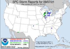
This day had shown some potential for severe t'storm risk from a few day out. However, it never really looked like a chase day, with the tornado threat looking very low and the wind and hail threat being of main focus.
The event unfolded as expected during the late morning into afternoon, with scattered t'storms (Several of which were severe) having developed from Southern Wisconsin down into Northern Illinois, ahead of a southeast moving cold front. As activity moved east-southeast and across North-Central Illinois, one severe t'storm in particular around Dixon IL started looking interesting, as it had deviant motion and was producing large hail. After watching this severe t'storm for a while from home, I made a last minute decision to head off the the southwest, to get into position to intercept the hail core. I quickly left home during the mid-afternoon with an initial target of Braidwood IL, a fairly short 45 minute drive. Along the way, I determined I would make it to this target well too far in advance of the severe t'storm in question, thus decided to target Minooka IL instead, which was actually a bit closer and would allow me to intercept sooner. Just before making it to Minooka, the severe t'storm I was targeting produced baseball sized hail near Leland IL.
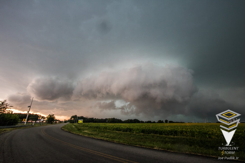
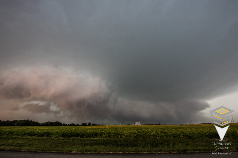
Finally making it to Minooka, I stopped for gas and looked over new data. The core of the storm had collapsed after the hail dump to the northwest, and the severe t'storm had started to take on more characteristics of a damaging wind threat. At the time the best wind threat looked to be along and just north of I-80, so I headed up just northeast of Minooka, very near I-80. Getting into position this severe t'storm once again took on new characteristics and quickly wrapped up, developing a couplet on radar. Visually in person you could see this change, with an organizing lowering and area of rotation forming within a shelf cloud, which was visible from northwest to south. This concentrated lowering/rotation quickly wrapped up, producing a very brief tornado, before weakening and gusting out. I followed the severe t'storm for a short time longer, before calling the chase as it headed further into the southern Chicago metro. Afterwards, I looped back around to where the brief tornado had occurred and found little int he way of damage. I also passed through the Minooka area, where significant and widespread wind damage had occurred.
Some pictures from this chase can be viewed below.


 RSS Feed