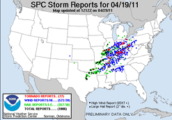
My chase group made it to our initial target of Litchfield, IL by mid-afternoon. A broken line of cell quickly developed in E. Missouri. We travels east to make a play on the only tornado producing cell, which was crossing the Mississippi River into Illinois, near Louisiana and Clarksville. We ended up intercepting the cell near Carrollton, IL. At this point the storm had become outflow dominant, and we witnessed a nice shelf cloud. We continued east with what now was a cluster of storms and encountered two gustnadoes.
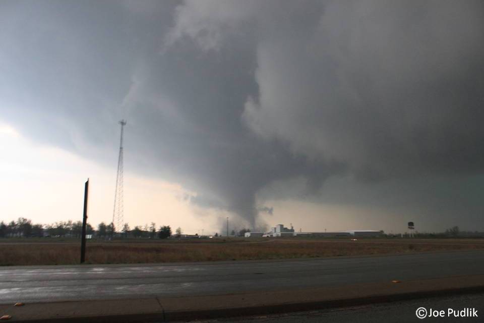
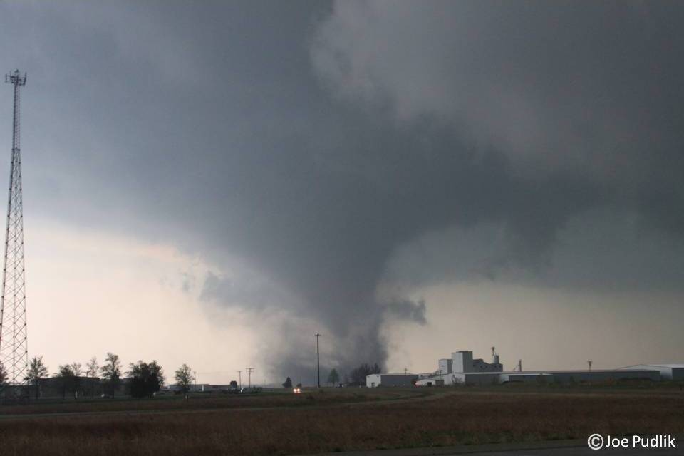
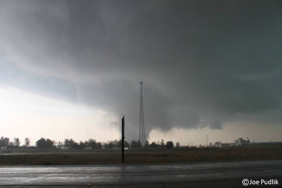
We then decided to just south and make a play on a new cell, which was moving northeast in the general direction of Litchfield, IL. This cell was quickly tornado warned as we drove along the north side of the meso and south side of the FFD. It formed several wall clouds all of which quickly fell a part. A bowl shaped funnel then formed and we did see a brief touchdown down in on open field via dust/dirt at the surface, which then diminished. Suddenly out of no where an inflow tail rapidly developed out of the cold/hail producing FFD to our north. This was very low to the ground, was accompanied by winds around 60mph and was rapidly being wrapped into the new rapidly forming funnel. The second tornado ended up dropping near Barnett, IL west of I-55 as we watched from the I-55/Route 108 JCT. The tornado crossed I-55 about 1 1/2 miles to our south and then proceeded to move northeast where it did hit a few structures near Honey Bend, IL before weakening/lifting southwest of Raymond, IL.
After the tornadic supercell passed and started to form a QCLS, we then decided to drop down to I-70. On our we down there, we ended up getting hit by the line which produced winds around 60mph and knocked down small tree branches. We finally made it to I-70 where we ended up following the line for a bit and then sat in Greenfield, IL waiting for what was the St. Louis, IL supercell to pass. It produced winds around 60mph and hail around marble size.
This was a great chase in which we saw two tornadoes, two gustnadoes, a nice shelf cloud, hail and damaging winds.
Some pictures and video from this chase can be viewed below. Additional pictures can be found in the 2011 photography section.


 RSS Feed