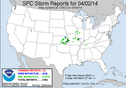
Day two of the three day chase, and one which also had potential issues with forcing and the cap. Model guidance showed the potential for a big day, but only if the cap would break. Waking up Wednesday morning and looking over data, one of the bigger things that stood out was the loaded-gun sounding from 12z at OUN. That backed up the though that if the cap broke it would be a big day.
After gathering everyone from the hotel and Stephens apartment, and grabbing some breakfast we set out for the Perry to Enid, OK area, which was to be just east of the triple point. We made it to Enid, OK early in the afternoon, and ended up sitting in a few different locations off to the northwest of town for a while. There was a lot of TCU, but nothing was really developing as forcing was still back to the southwest. As time went on and better forcing started to approach a storm developed off to our northeast. We decided to head off after it as it was the only thing going on at this point. While following it, it started to show signs of weakening as it pushed off to the north of the warm front, thus we decided to drop off of it while southwest of Medford, OK. By this point a few other storms started to pop up off to our northwest and west, and we headed that way. We ended up following a developing storm just north of Nash, OK, but it to started to weaken as it pushed off to the north of the warm front.
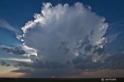
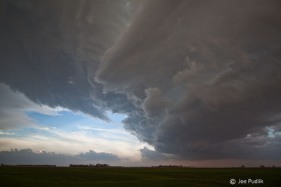
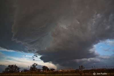
While sitting near Sand Creek, OK watching the Nash storm fade away as it pushed to our north and northeast, a second storm quickly developed to our west near Cherokee. We continued to hold our position, watching the storm develop and hoping it would root to the warm front and become surface based. As time passed it was clear that wouldn't happen, but this was the best looking storm of the day so we decided to pursue it. Heading off to the northwest into far southern Kansas at first and then east-northeast with the storm, we witnessed photogentic structure as it developed into an elevated supercell storm. In addition to the structure there was decent RFD winds that kicked up a wall of dirt/dust, and we encountered some hail up to nickel size while in Harper, KS. Shortly after this time the storm started to weaken a bit and no other decent activity had developed, so we decided to head east for the night. While driving east the storm started to re-develop and we pulled off near Mayfield, KS to watch it. As it pushed east towards us it started to interact with the warm front that had pushed north into the area. The sun had set at this point, but you could see the storm was trying to become surface based...but it never fully got there. After following it east for a bit we dropped off it and headed to Wellington, KS for the night.
Some pictures from this chase can be viewed below. Additional pictures can be found in the 2014 photography section.


 RSS Feed