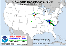
My chase group made it out to the initial target area in E. Nebraska by mid-afternoon. Soon after a cumulus field developed west of Fremont, NE. We quickly jumped on this and watched as a supercell slowly developed.
We followed this cell across the Missouri River into Iowa. This cell ended up weakening, but a strengthening meso with it essentially ended up being left behind and a new supercell quickly developed. this new cell/meso would be the main event for the day.
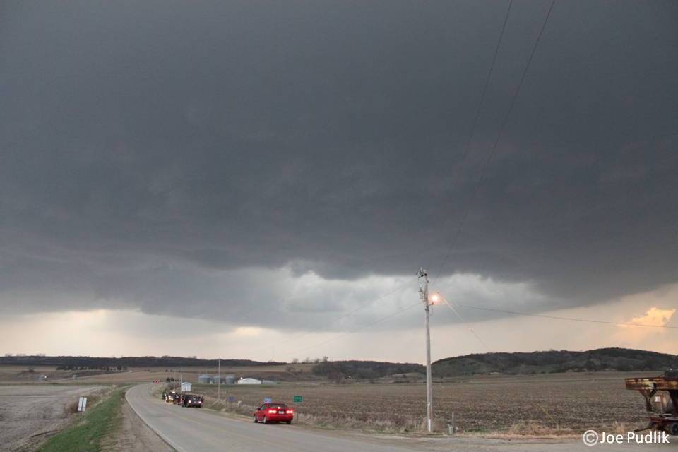
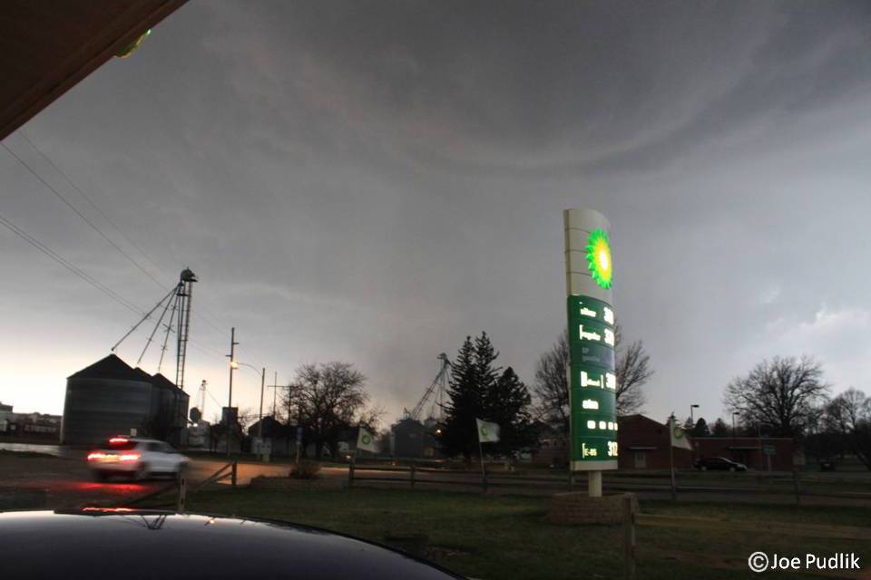
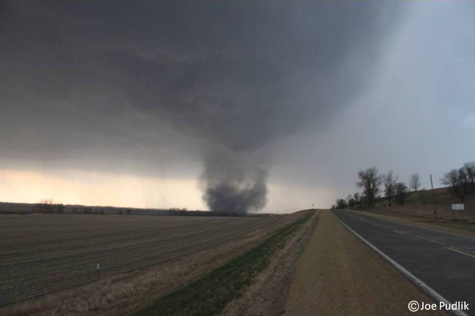
We were in Castana, IA when we first got a nice look at the meso/rotation, which was clearly visible and broad at the time, but featured a developing inflow tail. This storm had great structure. We pushed east into Mapleton, IA where we sat at a BP gas station and encountered some hail. All of a sudden the power went out at the station, we looked across the street in a field and saw our first tornado of the day touchdown. We ended up leaving town pushing eastward, getting stuck in the hail core for a bit. We had hail around golf ball size(some stones to 2") for around 30 minutes. We finally got back to the southern side of the storm after dark and witnessed our second tornado on the day near Odebolt, IA. We continued northeast where we saw a third tornado in the Sac City/Pocahontas area.
We eventually called it a night and began to head towards Fort Dodge for the night, not before stopping to make a play on a second tornado warned supercell moving in from the west-northwest. This storm had great structure and did have a lowering for a time, along with strong inflow winds around 60mph.
This is probably the best chase I have been on to date, as we ended up with three tornadoes on the day, large hail, and great storm structure.
Some pictures and video from this chase can be viewed below. Additional pictures can be found in the 2011 photography section and additional videos can be found in the 2011 video section.


 RSS Feed