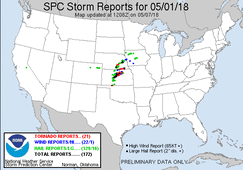
This day is one of two to three days that had shown potential in this period. There appeared to be one main area of potential across S. Nebraska, C. Kansas and N. Oklahoma. Instability, moisture and shear looked favorable leading up to this day. However, capping and quantity of storms looking to be the biggest concerns.
For this period I teamed up with Adam Lucio, Chelsea Burnett and Jonathan Williamson. We started the day in Norman, OK. Upon waking up and looking over data, a main target within C. Kansas looked like the best bet. Further north appeared as though would suffer from having too many storms, with better discrete activity likely being near and south of I-70. We set out with an initial target of Great Bend, KS. After dropping an extra vehicle off in McPherson, KS, we made it to Great Bend during the early afternoon.
Sitting in Great Bend for a while, we watched as numerous storms initiated to our west and pushed off to our north and northeast. We never were really tempted to go after any of this activity, with the expected better discrete activity likely to develop to our southwest. Eventually a storm that developed to our southwest matured as it moved just to our west and became tornado warned. We decided to head to this storm, where we eventually caught up with it near Timkin, KS. We followed this storm for a while to the ENE and encountered golf ball size hail, but it really did not look too interesting and seemed to be struggling. By this time new development had occurred well to our southwest and had matured. We decided to drop off of our original storm and head south to what was now a discrete tornado warned supercell northeast of Greensburg, KS. (Our original storm eventually went on to re-strengthen and produce a few tornadoes, including an EF-3 near Tescott, KS)
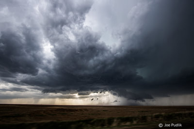
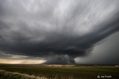
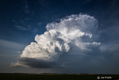
We caught up with our new storm near St. John, KS, where we sat and watched it for quite a while. Upon initially arriving it was a nice supercell, though it had a high base. As time went on the storm started to struggled, and transitioned into a nice LP supercell. We sat and watched as it continued as an LP supercell as it further moved a way from us, eventually weakening. By this time sunset was approaching and no other storms were even close to us. We decided to call it a chase, and head back to McPherson, KS for the night.
Some pictures from this chase can be viewed below. Additional pictures can be found in the 2018 photography section.


 RSS Feed